Ground Penetrating Radar
Non-invasive subsurface survey to locate possible unmarked graves, buried markers, and underground features — preserving the integrity of cemetery while trying to locate its lost history.
Locating What Time Has Hidden
Almost all cemeteries contain unmarked or lost burials — graves where no monument was installed, where stones have sunk below the surface, or where records have been lost. Ground Penetrating Radar (GPR) allows us to survey the subterranean soil without disturbing the cemetery grounds.
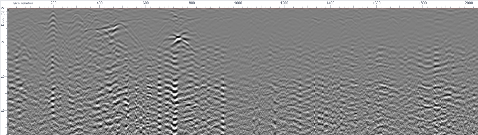
Texas Cemetery Restoration uses GPR equipment to scan the subsurface looking for anomalies that could be possible burials, buried markers, vaults, and other underground features. The findings are mapped and documented, giving cemetery associations and families a clearer picture of the full extent of their cemetery — including possible burials that would otherwise remain unknown.
To be completely transparent - GPR IS NOT X-RAY AND IT IS NOT 100% ACCURATE! With that being said GPR is one of the best noninvasive ways to search for unmarked burials. There are wide range of site conditions that can effect the accuracy of the data and what the GPR equipment is able detect. Most of all the site conditions are out of anyone's control and we do our best to adjust the GPR equipment as well as filter the data for each cemetery to optimize the data for interpretation.
Process
What Our GPR Service Includes:
1: Site Survey
We use GPS to record the location of all the visibly marked burials that are in the survey area as well as any context items that might be relative to the GPR data.
2: Site Map and GPR Grid
Take the GPS data from step 1 and input that into the computer then create a GPR grid overlay that will align best with the existing marked burials.
3: GPR Field Data Collection
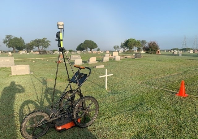
We stakeout the GPR grid we created in step 2 to use as our guide for collecting the GPR data. We push the GPR cart/antenna in a zig zag grid format on 2 foot intervals so no area is missed within the GPR survey area. While collecting the GPR data we are simultaneously integrating GPS locations to the GPR data so that our data and findings will sync perfectly with our site survey we did in step 1.
4: GPR Data Processing and Interpretation
Once done with the site work we download the GPR data and process it thru the computer to filter and refine the data so that is easier to interpret and make conclusions from the data.
5: Site Verification
We will install flat stainless steel disc in the cemetery at the head of the locations where the data has shown us a high probability of being an unmarked burial. This step allows us to confirm our findings as well as give the cemetery association a physical marker - location they can use for reference or replace with a more permanent stone monument.
6: Final Report & Deliverables
We compile all findings into a comprehensive written report that includes a map of the GPR survey area, GPS coordinates of identified possible unmarked burials. You receive a permanent record of the GPR survey that can be used to guide future monument placement, and cemetery management decisions. If a GPR survey is done with or after we have done a mapping project the findings will be incorporated into the overall cemetery map and database.
Contact Us
Take the next step on your Cemetery Project
Whether you have a single monument in need of care or an entire cemetery project, we'd love to hear from you. Fill out the form and we will be in touch shortly.
Address
P.O. Box 371
Crockett, TX 75835